 11May 2022
Innovative research opens up more locations for onshore wind energy
Radio navigation facilities, weather radar stations and wind turbines can now be built in closer proximity to each other. This has been agreed in consultation between the Transport and the Economic Affairs Ministries. Findings from the „WERAN plus“ research project provided a basis for the new rules.
 © PTB
© PTB
In early April, the Federal Ministry for Digital and Transport and the Federal Ministry for Economic Affairs and Climate Action agreed on a comprehensive package of measures in the field of omnidirectional radio beacons and weather radar stations. It modernises the existing regulatory framework and uses new forecasting methods for radio navigation and omnidirectional radio beacons which can make it possible to halve the required distance from wind energy installations. This offers a quick way to increase the availability of locations for onshore wind energy.
Federal Minister Robert Habeck said: „We have adopted a package of measures together which will allow us to harness further potential by developing around five gigawatts of additional wind energy capacity. With four to five megawatts per new installation, this translates into more than 1,000 new wind turbines.“ The scientific basis for the proposal to reduce the distances has been provided by the WERAN plus research project, which is examining the effects of wind energy installations on radio navigation facilities used by air traffic.
A radius of only six or seven kilometres is considered safe
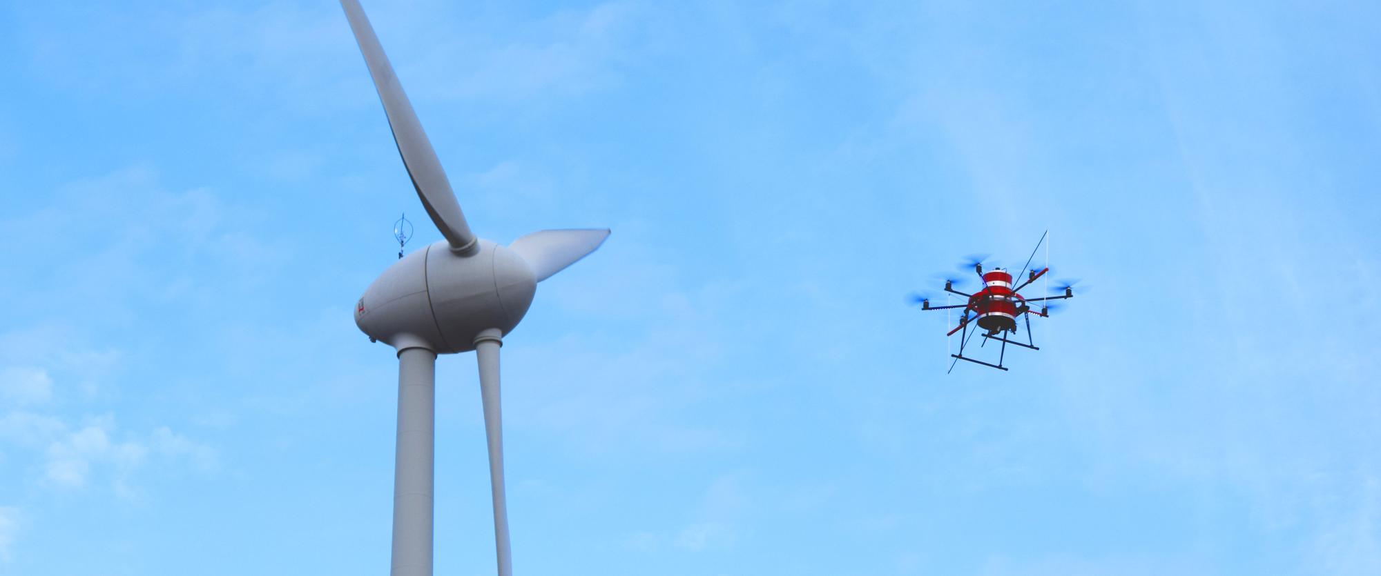
Drawing on their insights from the WERAN and WERAN plus research projects, scientists have now been able to prove that a radius of between six and seven kilometres is sufficient for an assessment in terms of aviation safety. Moreover, the open space surrounding the omindirectional radio beacons is considered particularly useful since wind turbines, just like radio signals, need an unobstructed „view“ in order to be able to sufficiently harness the wind.
The scientists have developed a new method – the so-called „Doppler cross bearing“.
This method enables them to determine the location of potential disruptors and the intensity with which any given object is reflecting radio signals. The objects identified in this way can be localised on a map. On the basis of the measured data, a complete „clutter map“ can be drawn up to make the disruptions visible. New wind energy installations can be added to the map, and it will be easier to tell how potential new installations will fit into the surroundings. Also, it is possible to predict with great precision any potential disruptions to the radio signals from omnidirectional radio beacons.
Crucially, the new findings can enable wind energy expansion in the surroundings of omnidirectional radio beacons without posing a threat to aviation security.
Further information
- Newsletter: News from applied energy research (in German only)
- Joint press release by the Federal Ministry for Digital and Transport and the Federal Ministry for Economic Affairs and Climate Action: More locations for onshore wind energy (in German only)
- Article by the Federal Ministry for Economic Affairs and Climate Action: Better safety for „aviation lighthouses“ (in German only)
- News on the project launch of WERAN plus at strom-forschung.de
- Detailed project description of WERAN at strom-forschung.de